
Free Nature Play at Melbourne Zoo for Early Learning Week
For one week in August, Melbourne Zoo's award-winning Keeper Kids team runs free Nature Play and Storytime sessions, backed by research showing real gains for little ones.
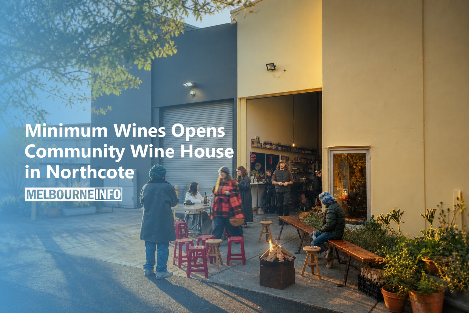
Minimum Wines Opens Community Wine House in Northcote
Matt and Leni Purbrick have opened a neighbourhood wine bar, grocery and community space in a Northcote winery, pouring organic Minimum Wines with simple snacks and free venue hire for locals.
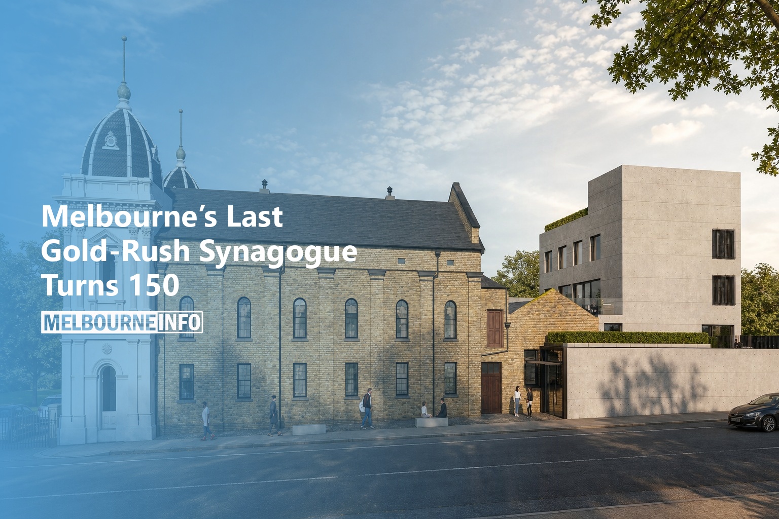
Melbourne’s Last Gold-Rush Synagogue Turns 150
The East Melbourne Synagogue at 488 Albert Street is celebrating 150 years since its 1877 opening, with tours, a museum of rare books, and a remarkable story of survival as the last inner-city Jewish institution
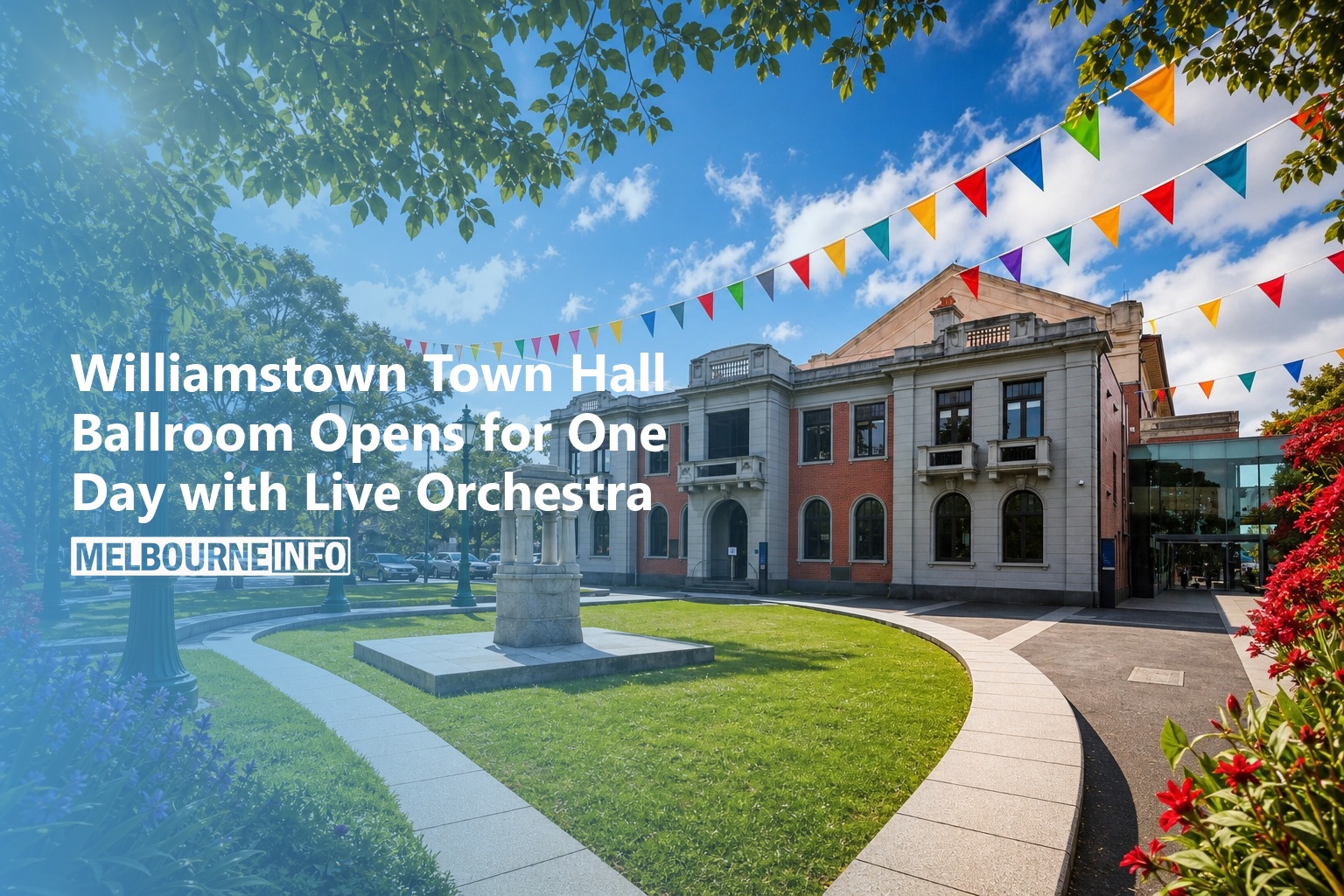
Williamstown Town Hall Ballroom Opens for One Day with Live Orchestra
Williamstown Town Hall’s grand 1927 ballroom opens for one day on 26 July with free tours and live orchestra performances ahead of its centenary next year.
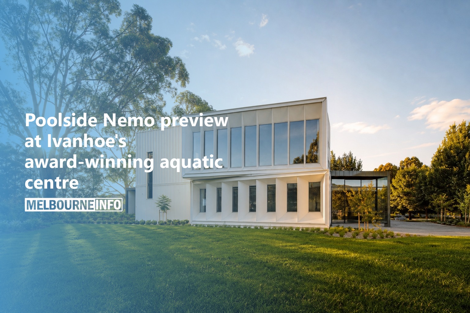
Poolside Nemo preview at Ivanhoe’s award-winning aquatic centre
Ivanhoe Grammar School's Coonawarra Willam Aquatic Centre opens for Open House Melbourne tours on 26 July, with a poolside Finding Nemo JR performance, limited tickets.
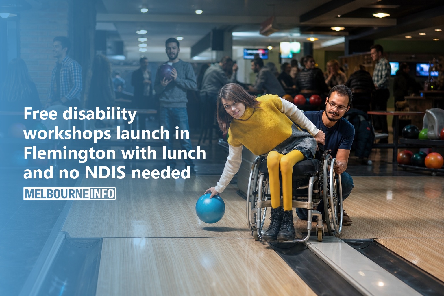
Free disability workshops launch in Flemington with lunch and no NDIS needed
Free two-hour peer support workshops for people new to disability or chronic illness are running in Flemington. Lunch is provided and no NDIS plan is needed.
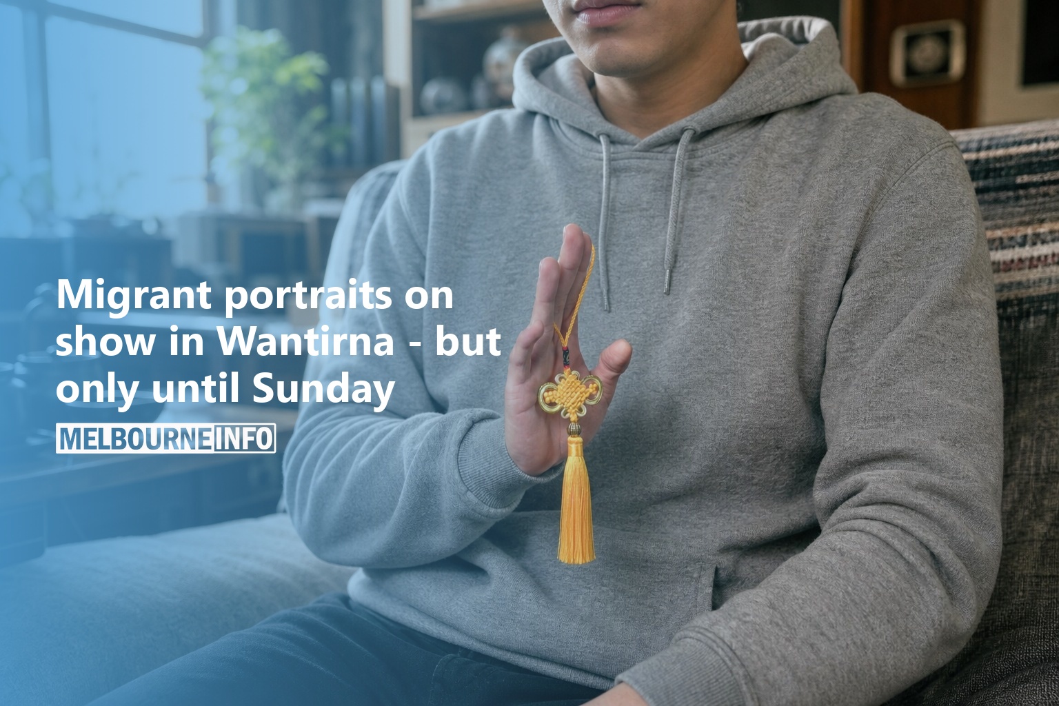
Migrant portraits on show in Wantirna – but only until Sunday
A free exhibition of collaborative photographic portraits exploring migration and belonging, created by Swinburne students with migrant English learners. Closes Sunday 26 July 2026 at Swinburne Gallery, Wantirna.
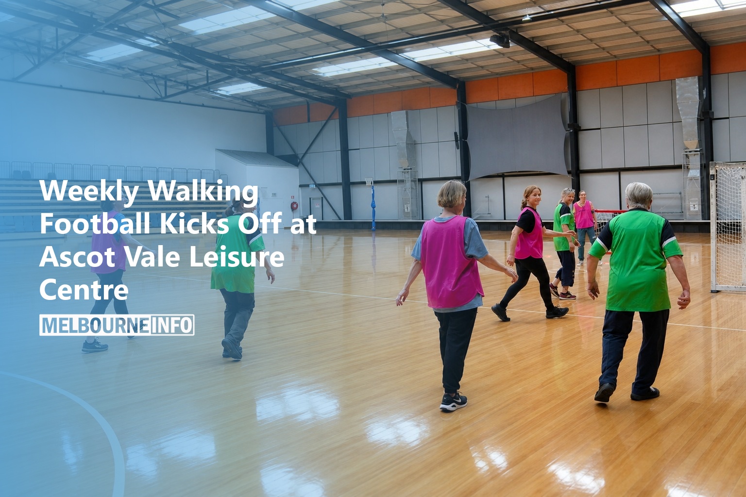
Weekly Walking Football Kicks Off at Ascot Vale Leisure Centre
Low-impact walking football for all ages at Ascot Vale Leisure Centre. Next session Monday 20 July, 1:30pm. $5.95 casual or free for MOVE members. No registration required.
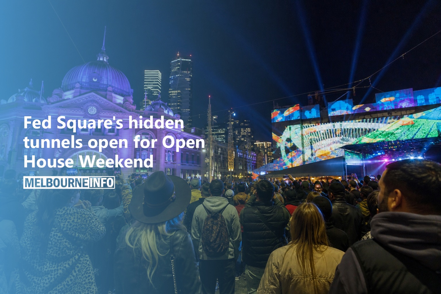
Fed Square’s hidden tunnels open for Open House Weekend
Explore Fed Square's hidden tunnels, ACMI's film lab, Koorie Heritage Trust tours and MESS's open studio during Open House Melbourne Weekend on 25–26 July. Book early.
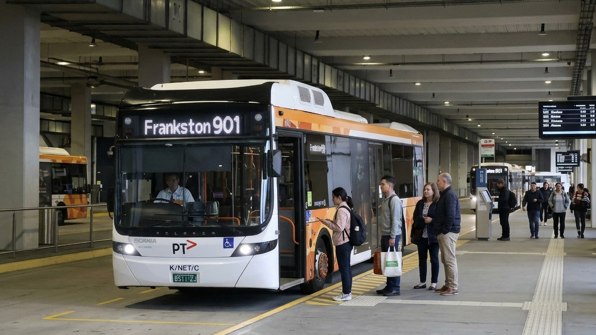
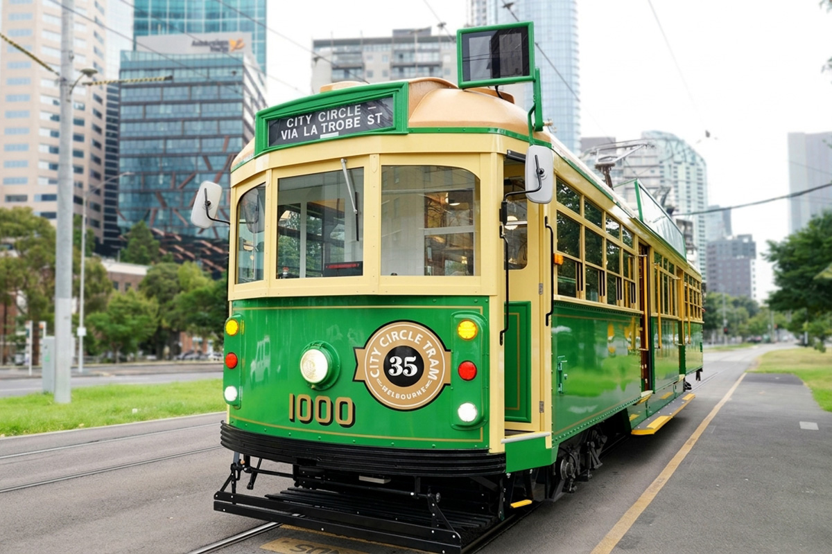
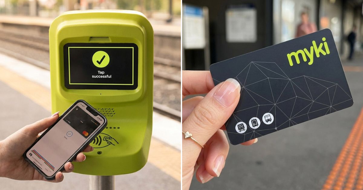
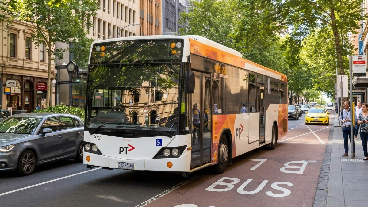
Learn to Use Melbourne Public Transport like a Pro

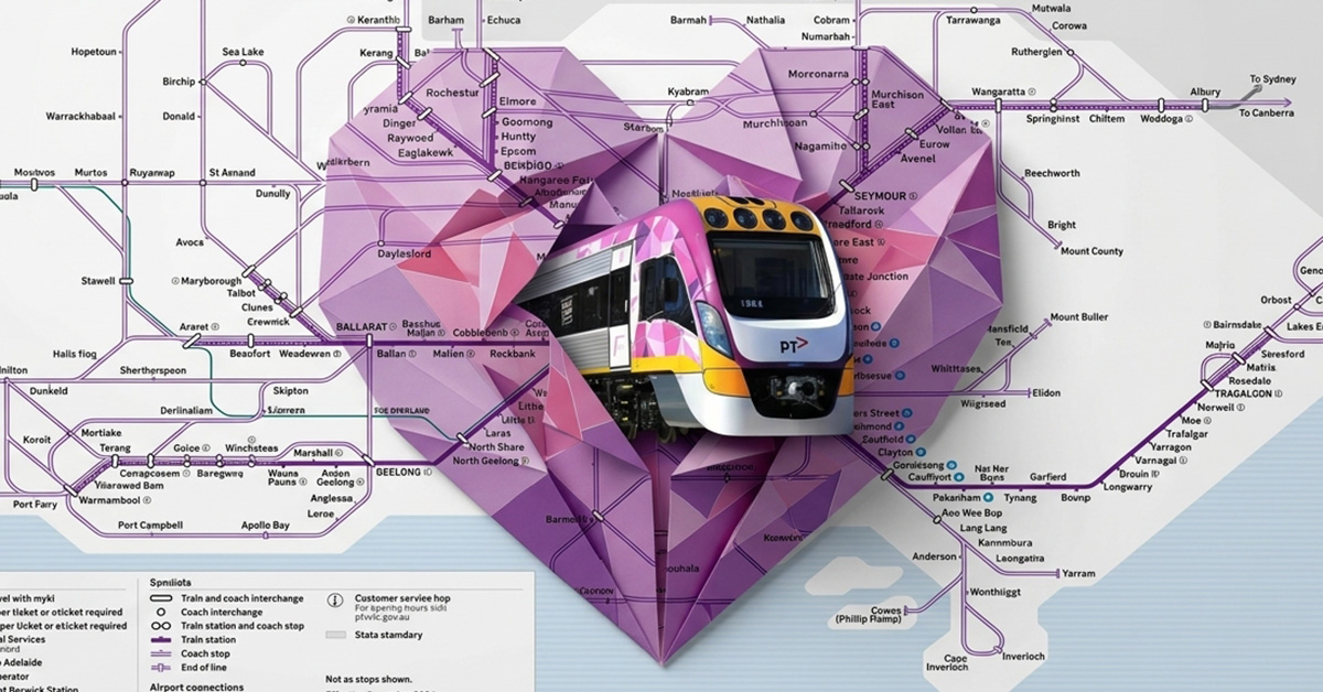
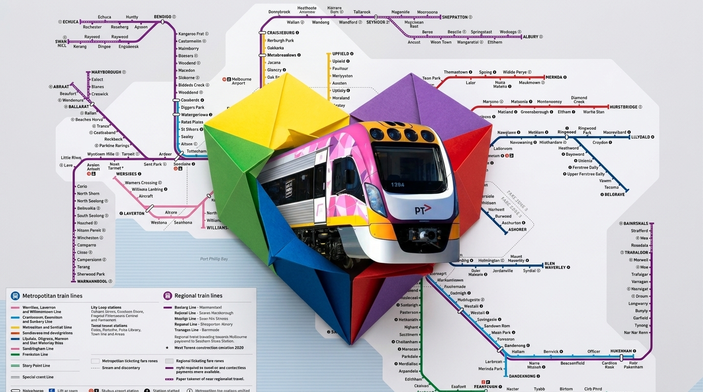

Understand Melbourne
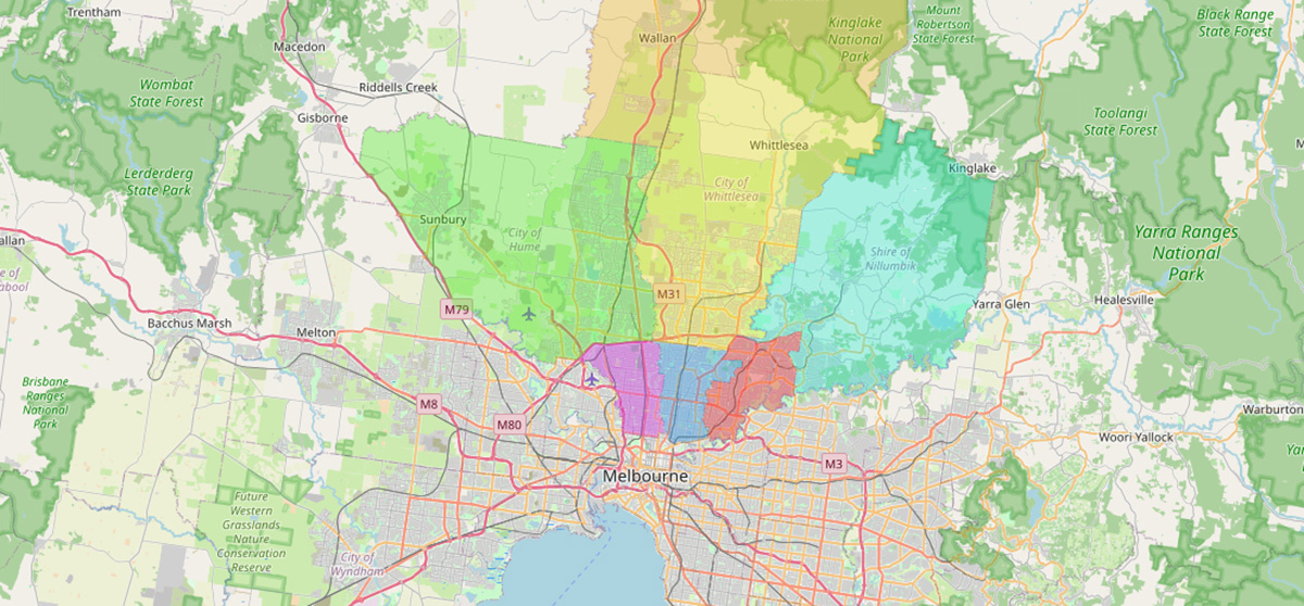
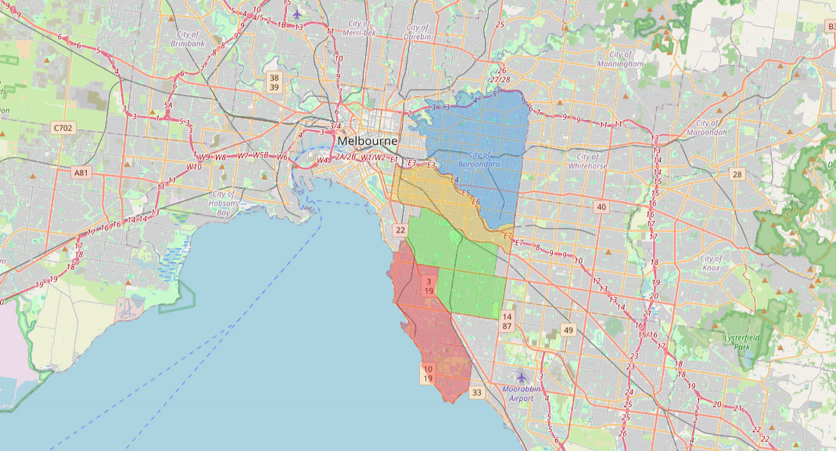
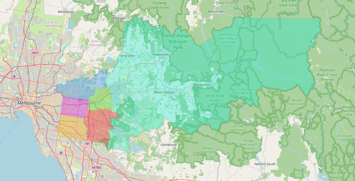
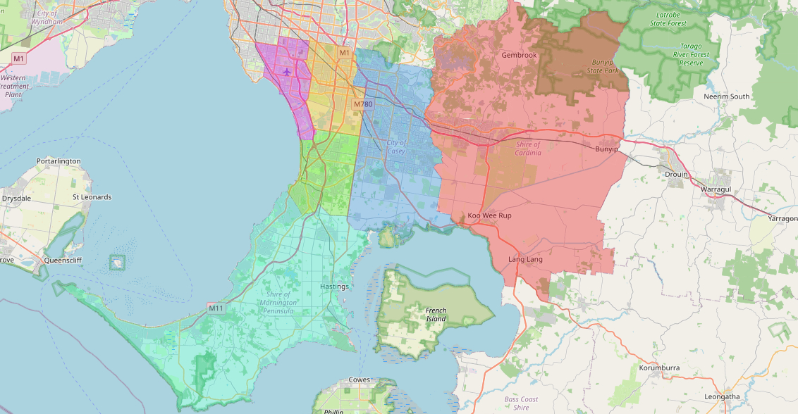
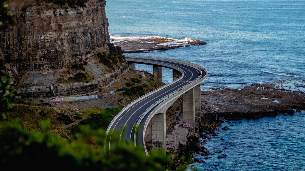
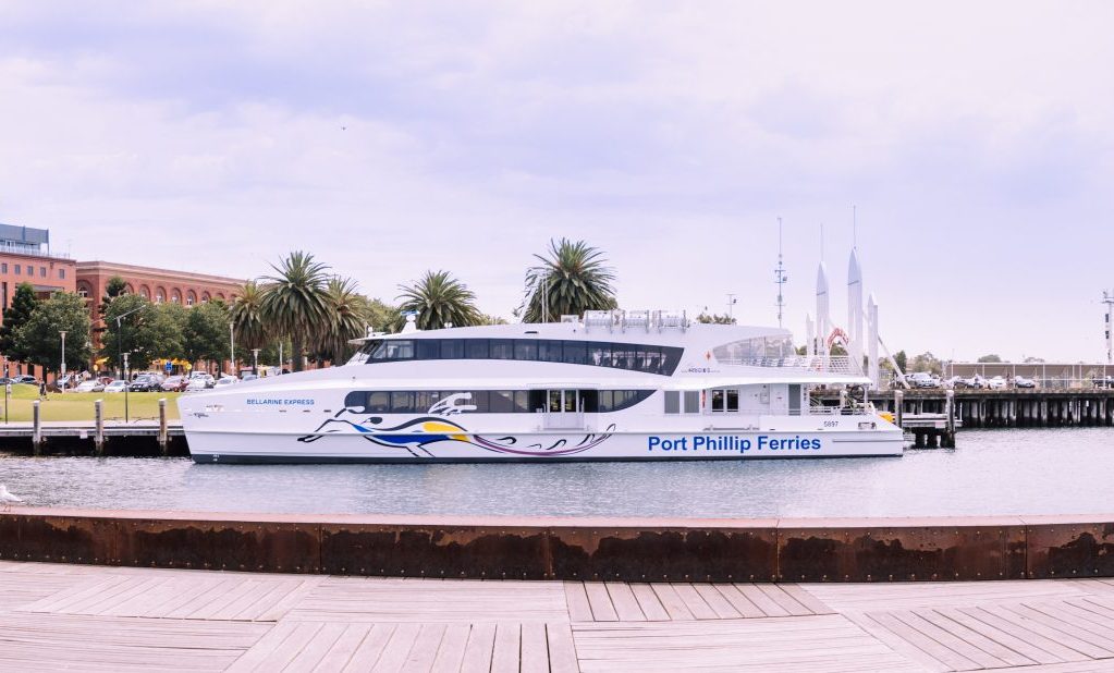
Journeys from Melbourne